Every summer, volunteers travel to the roadless coast of James Bay to count the shorebirds that stop there to rest and feed during migration. The counts are done on foot, walking transects of about 10 km a day. It is slow, demanding work, and it can disturb sensitive species such as the endangered Red Knot.
Researchers at Carleton University are testing another way: drones to photograph the shoreline, a neural network to count the birds, and 3D-printed decoys to put it all to the test.
A summary of “Birds and a Plane” by Tyrone Burke, Raven Magazine, Carleton University (January 22, 2020). Photos by Fangliang Xu.
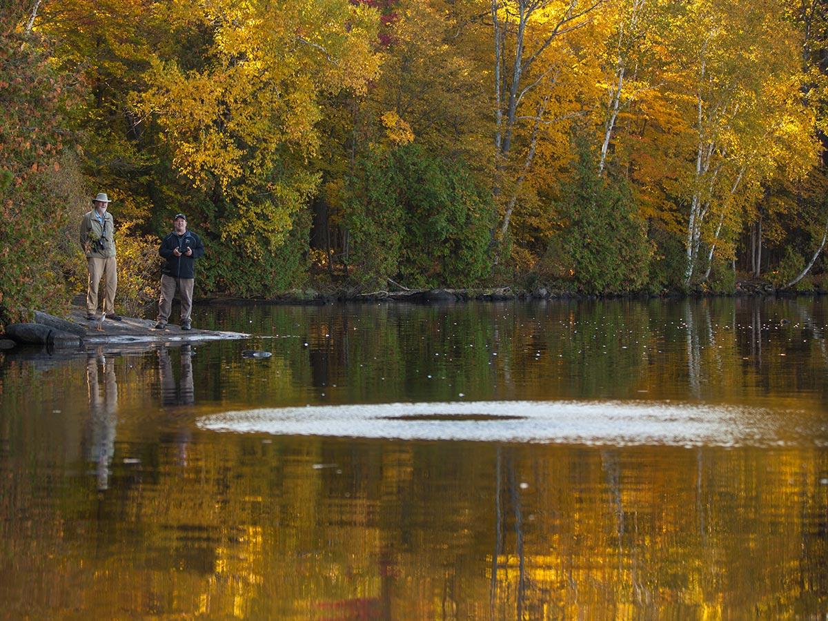
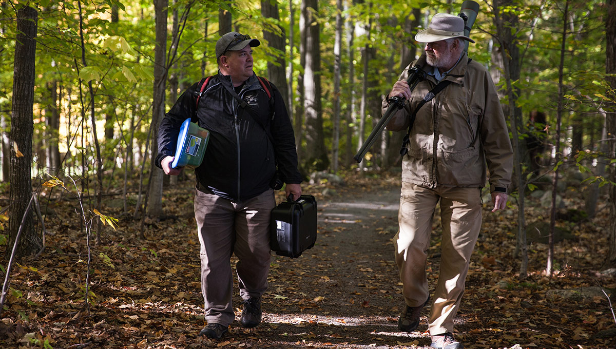
Gerhard Bruins, a former Canadian Wildlife Service scientist who has made the James Bay trip three times, asked researchers at Carleton whether the counts could be more complete, accurate and efficient. His question grew into a project that brings together engineering, computer science and biology.
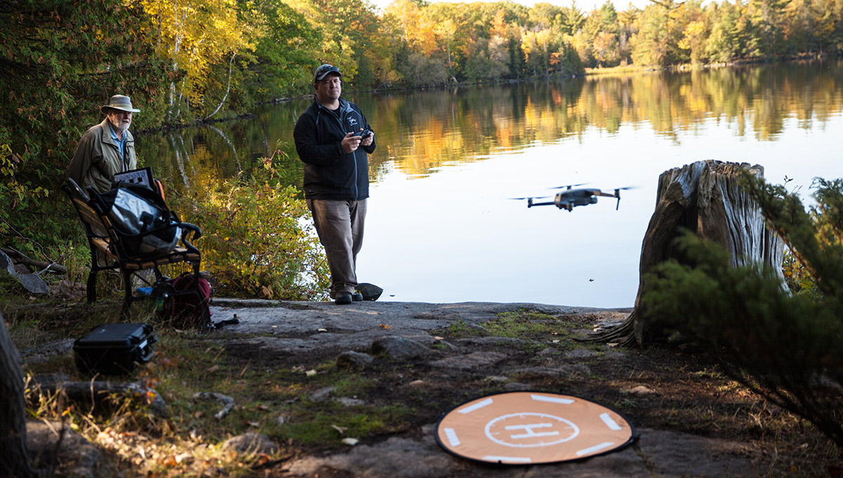
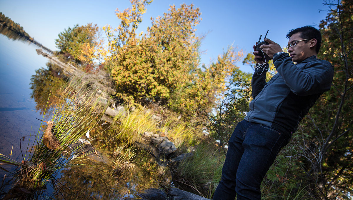
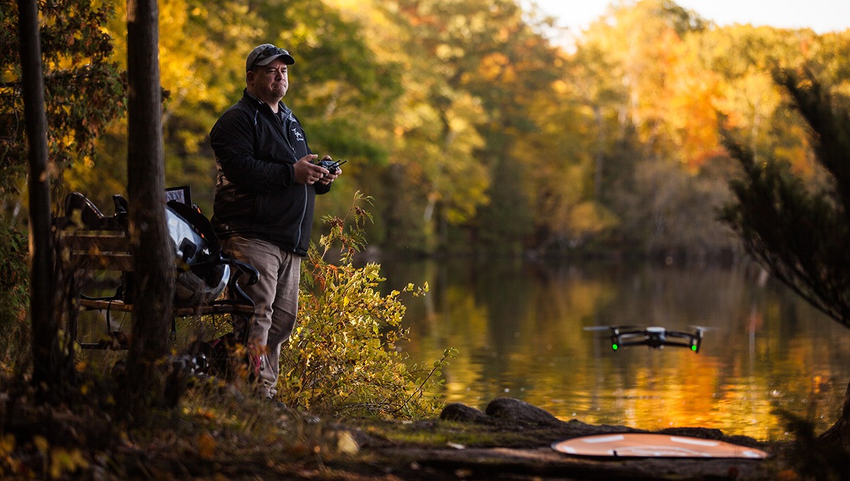
Mechanical and Aerospace Engineering professor Jeremy Laliberté and master’s student Brendan Ooi fly an off-the-shelf DJI Mavic 2 quadcopter over decoy birds, comparing altitudes and grid versus line flight paths. The goal is a flight that can be set up in advance, so volunteers can run it in the field with little or no drone experience.
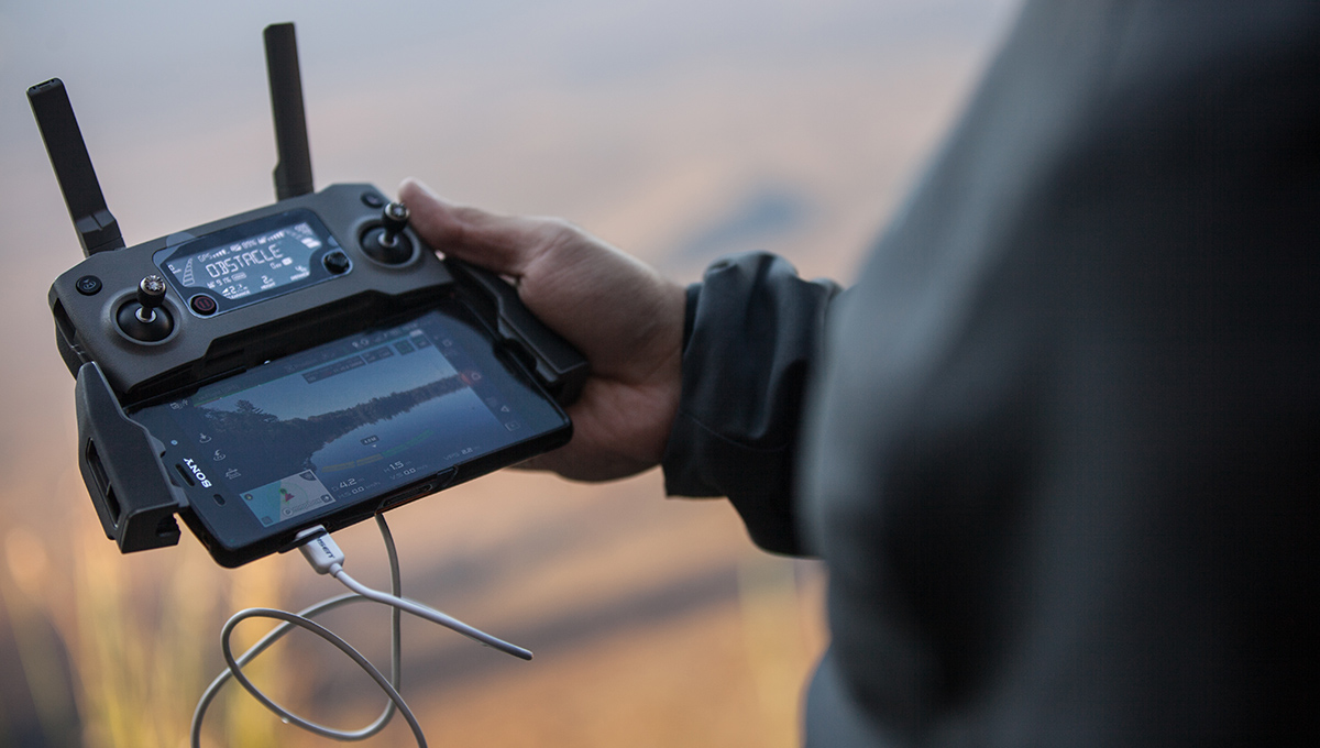
Systems and Computer Engineering instructor Cheryl Schramm, the first person Bruins approached, proposed training a neural network to find shorebirds in aerial images. Computer science students Simon Dewilde and Rachel Myrah are building tools that stitch overlapping drone photos into panoramas, then detect and classify the birds in them.
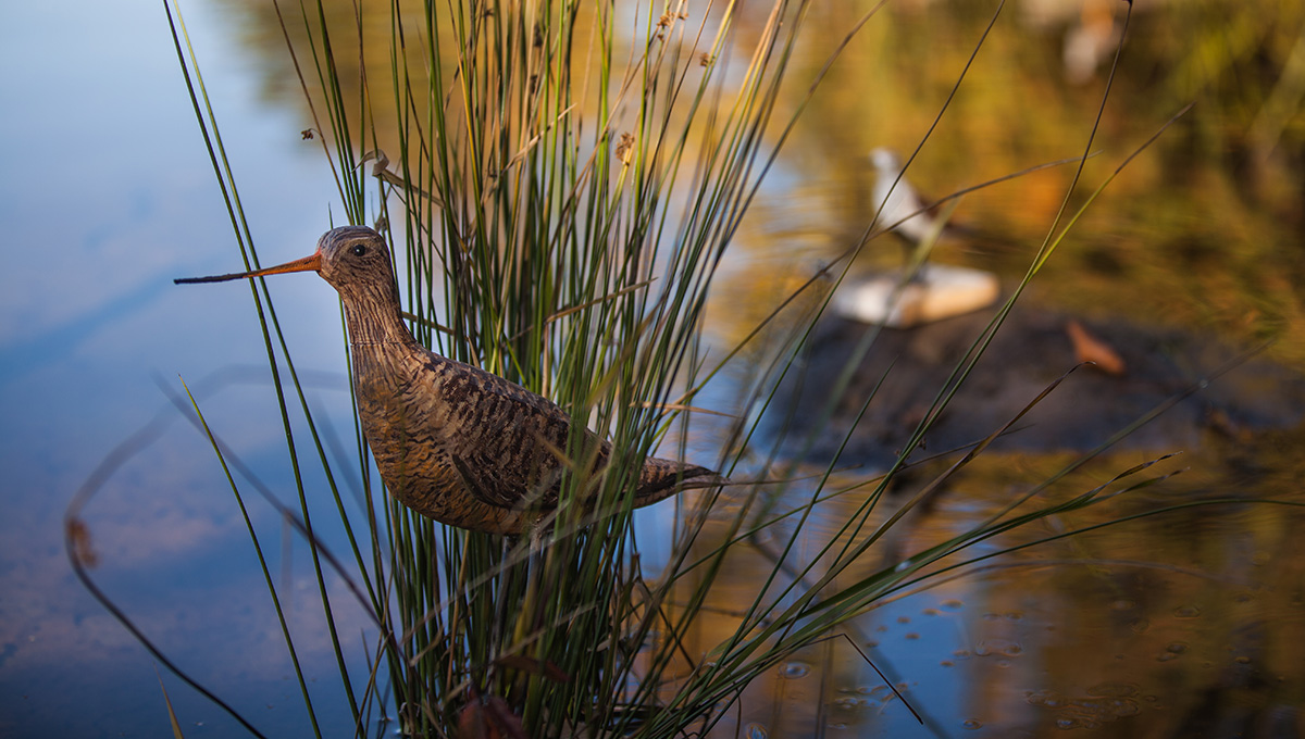
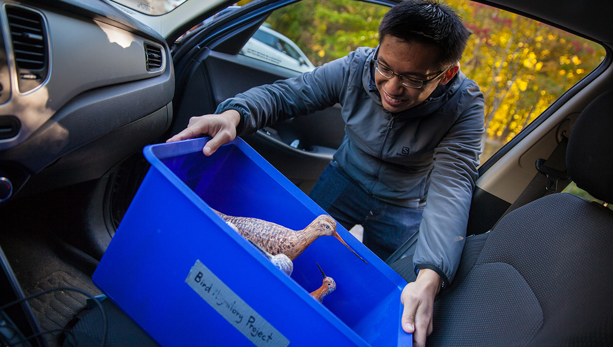
A neural network needs thousands of training images, and aerial photos of rare shorebirds are scarce. Biology professor Jeff Dawson and student Skyler Bruggink designed 3D-printed Red Knots and Greater Yellowlegs, checking their dimensions against specimens, and wildlife artist Ed Bruggink painted them.
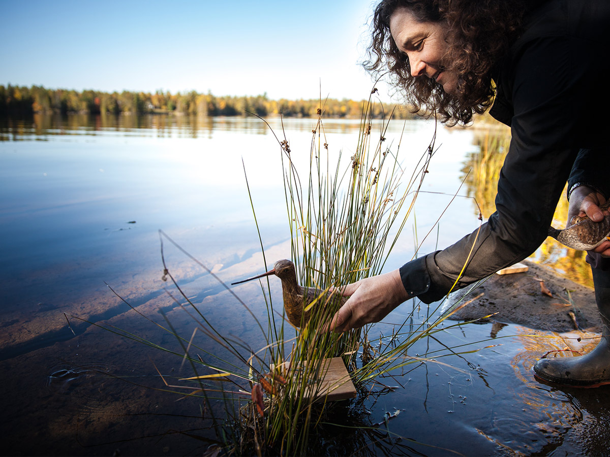
Field trials took place at Morris Island Conservation Area, about an hour west of Ottawa, standing in for James Bay. Even if every technical hurdle is cleared, one question remains: how will live birds react to the drone?
“If they stopped flying, we wouldn’t fly either.”
Brendan Ooi, master’s student, on keeping the drone from disturbing real birds